Your visit at a glance
- Meaning
- Unfortunate cape
- Early map evidence
- Circa 1753
- British capture of Mauritius
- 1810
- Chapel consecration
- 7 August 1938
What the name tells us, and what it does not
The French words are straightforward; the exact origin is less certain. Local historical writing associates the name with ships lost around the northern coast and, particularly, the story of the Saint-Géran. That association is worth knowing, but it should be presented as a tradition. A memorable explanation repeated in several visitor guides is not automatically an established historical fact.
Another familiar story says the cape became “unfortunate” because the British arrived in 1810. The chronology gives a clear reason to reject that as the origin of the name. Cap Malheureux appears in documents from decades earlier. You can mention the later military association without suggesting that it created a name that was already in use.
An eighteenth-century map provides an anchor
The National Archives of Mauritius catalogue includes a Plan de l’Isle de France attributed to d’Après de Mannevillette and dated around 1753. The entry quotes a note naming Cap Malheureux as the northern cape. This is a useful piece of evidence because it does not depend on a modern travel writer’s interpretation of the name. It shows the name was being used in the eighteenth century.
A map still has limits. It can establish that a place was labelled in a certain way at a certain date; it cannot, by itself, explain why the label first arose. The sensible conclusion is therefore precise. The name predates 1810, while a definitive derivation is not established by this map. That distinction is more useful than choosing whichever legend sounds most dramatic.
The Saint-Géran story belongs to the northeast coast
The Mauritius Museums Council places the wreck of the Saint-Géran off Île d’Ambre in 1744. The vessel belonged to the French East India Company, and its loss became part of Mauritius’s maritime memory. It is easy to see why a shipwreck story became attached to the wider northern seascape, where reefs, offshore islands and shipping routes have long shaped people’s lives.
Do not relocate the wreck to the water immediately in front of Notre-Dame-Auxiliatrice. Île d’Ambre is a different place on the northeast coast. Looking out from Cap Malheureux is a chance to think about that maritime world, rather than a claim to be standing at the wreck site. Nor does the shipwreck establish that the twentieth-century chapel was built as its memorial.
Paul et Virginie adds a literary layer
The Saint-Géran also lives in literature. The SSR Botanic Garden’s account explains that Bernardin de Saint-Pierre drew partly on the 1744 shipwreck for Paul et Virginie, published in 1788. The novel helped make the island and its landscapes familiar to readers far beyond the Indian Ocean. Its emotional force is one reason that the shipwreck is still woven into visitor stories.
A novel and an archive answer different questions. The book can enrich how you experience a landscape without serving as a literal account of every person, conversation or event. For a north-coast day with a literary interest, the garden at Pamplemousses provides a relevant additional stop. Allow it its own time rather than treating it as a quick detour between beach photographs.
1810 belongs to the wider struggle for the island
Mauritius, then known under French rule as Isle de France, occupied an important position on Indian Ocean trade routes. The National Army Museum describes the British and Indian capture in 1810 in the context of French privateering and the East India Company’s shipping. The northern coast forms part of that invasion story, which local accounts connect with the Cap Malheureux area.
It helps to separate the northern landing and the capture of the island from the naval fighting at Grand Port earlier that year. Grand Port is in the southeast, not at Cap Malheureux. A visitor standing beside the church is looking at a northern landscape associated with the campaign, not at the location of every battle in it. Keep the geography as clear as the chronology.
The red-roof chapel arrived in 1938
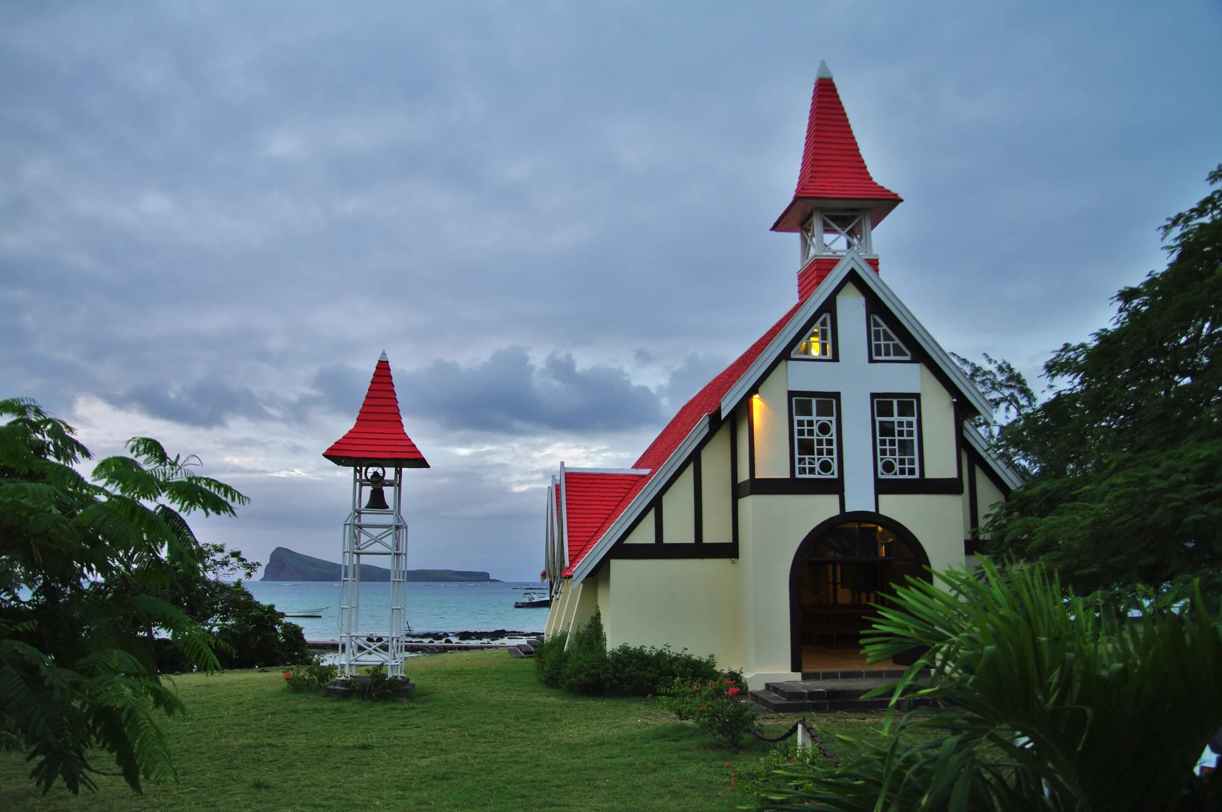
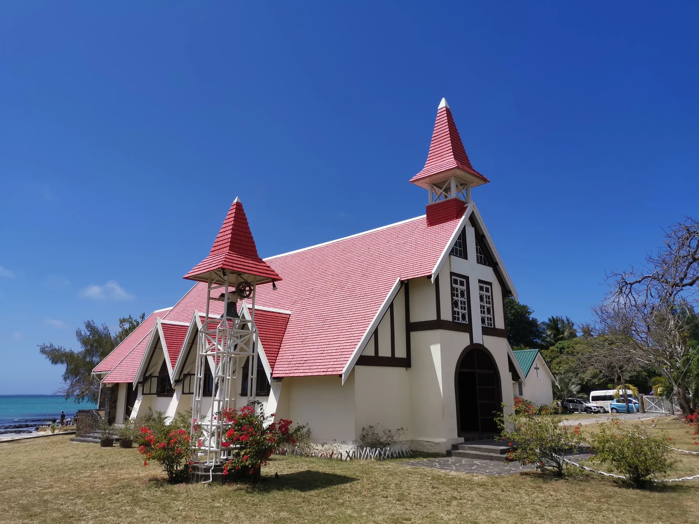
The building that now defines the familiar view is much more recent. La Gazette records the initiative of Abbé Albert Glorieux, the design by Max Boullé and construction by Raoul Lolliot. Notre-Dame-Auxiliatrice was consecrated on 7 August 1938. Its small scale, white walls and red roof create a strong visual presence beside the water without needing a monumental building.
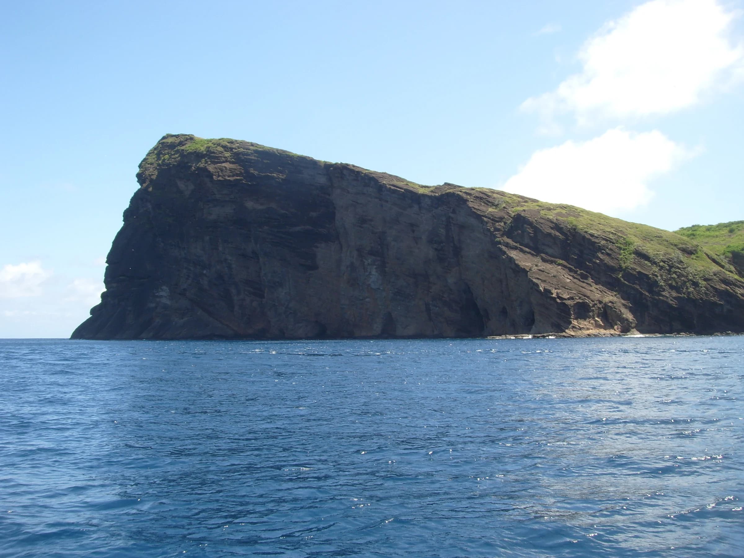
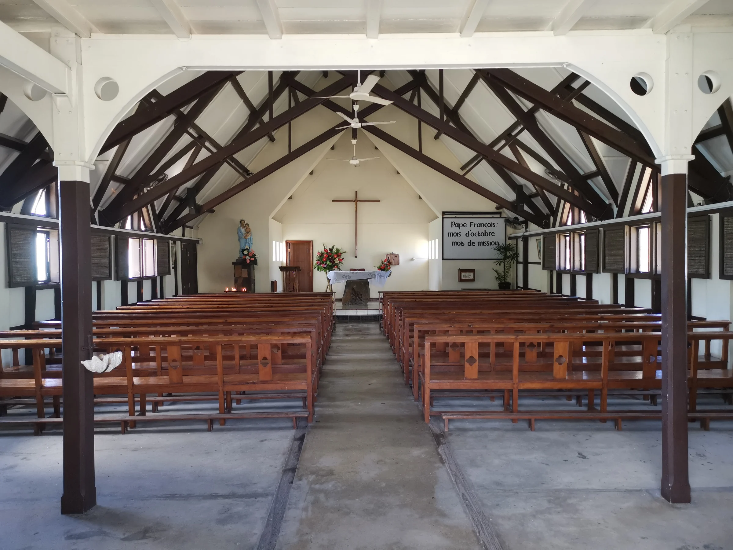
Its history continues through parish life. Visit it as a church first, with time to look at the interior when access is appropriate. The shoreline, fishing boats and Coin de Mire view help explain why the setting has become so widely photographed, but the people using the chapel are part of its present story too. Give their celebrations and quiet prayer precedence.
Keep these dates in mind during your visit
A short timeline helps you avoid merging unrelated events. It also makes the landscape easier to discuss with children or fellow travellers. There is no need to memorise every military detail to appreciate the place. Remembering the order of the wreck, the map, the novel, the capture and the chapel already makes the story much clearer.
Use this chronology as a framework rather than a complete history of the village. The cape’s past also belongs to fishers, families and communities whose lives are not reduced to a shipwreck or an imperial campaign. The everyday coastal setting is part of what makes the visit worthwhile.
| Date | What it refers to |
|---|---|
| 1744 | Saint-Géran wreck near Île d’Ambre |
| Circa 1753 | Cap Malheureux appears in a catalogued map |
| 1788 | Publication of Paul et Virginie |
| 1810 | British and Indian capture of Mauritius |
| 1938 | Consecration of Notre-Dame-Auxiliatrice |
Turn the history into an unhurried visit
Start at the church and look seaward before reading the whole story on your phone. Identify Coin de Mire, then take time to notice the contrast between the small chapel and the open horizon. A quiet half-hour can give a better sense of place than racing from one supposed historical marker to another. Do not assume that an unlabelled stone or structure is connected to a particular event.
If you want to continue exploring, choose one additional theme. A cultural day can include Pamplemousses and its literary associations. A coastal day can continue to Bain Boeuf or Anse la Raie. For deeper shipwreck history, the National History Museum at Mahébourg belongs to a separate southeast outing, rather than a small extension of the Cap Malheureux visit.
The questions you’re asking
Why is it called Cap Malheureux?
The name translates as “unfortunate cape”. Local tradition links it to shipwrecks, but a definitive origin is not established here. Map evidence shows the name was in use long before the British capture of 1810.
Was the village named after the British landing?
That explanation does not fit the chronology. A National Archives catalogue quotes Cap Malheureux on a map dated around 1753, decades before the 1810 campaign.
Did the Saint-Géran sink beside the church?
No. The Mauritius Museums Council places the 1744 wreck off Île d’Ambre on the northeast coast. The church at Cap Malheureux was consecrated almost two centuries later, in 1938.
Who built the church?
La Gazette identifies Raoul Lolliot as builder, Max Boullé as designer and Abbé Albert Glorieux as the initiator of the chapel project. It records consecration on 7 August 1938.
Sources and review
This guide was reviewed on 30 October 2026. Service times, sea conditions and access arrangements can change. Suggested durations are planning estimates.
- National Archives of Mauritius, historical map catalogue
- Mauritius Museums Council, Saint-Géran exhibition
- SSR Botanic Garden, Paul et Virginie
- National Army Museum, the capture of Mauritius
- La Gazette, Notre-Dame Auxiliatrice
- Histoires Mauriciennes, the name of Cap Malheureux